04 / Spatial
GIS Mapping & Spatial Analysis
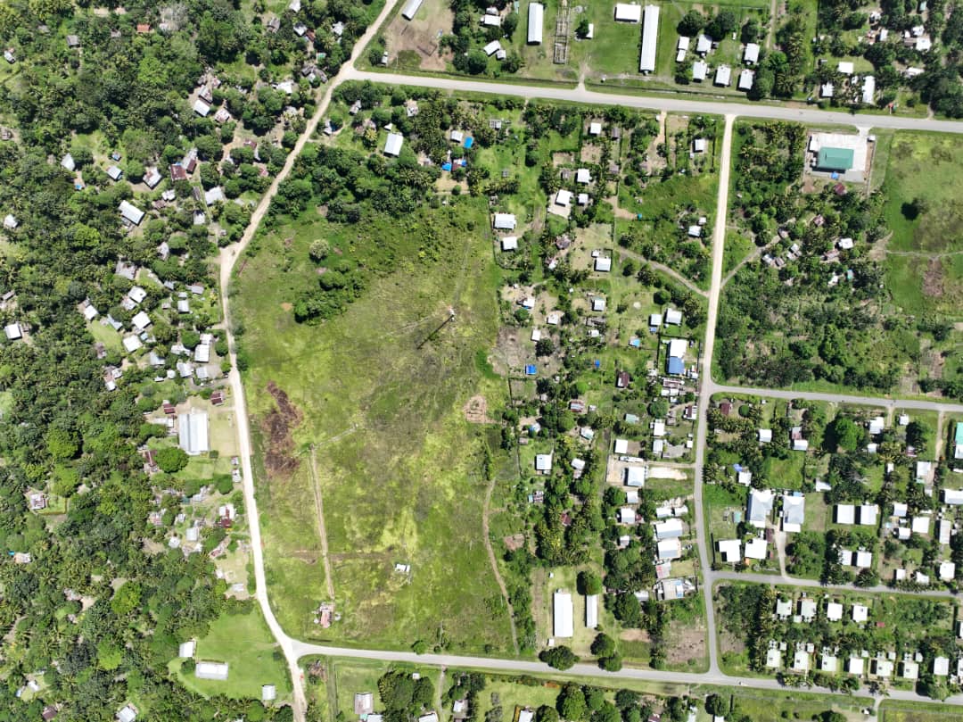
Spatial data, drone surveys and mapping to support decisions across exploration, infrastructure and planning.
High-fidelity spatial data and analysis to inform decisions across exploration, infrastructure, and planning.
Data & Mapping
- Spatial data collection and management
- Cartographic mapping
- Drone survey
Analysis & Support
- Spatial analysis and modelling
- Remote sensing and image analysis
- GIS consulting and training
Our approach
Standards, safety & quality
Site-specific HSE plans, toolbox meetings, PPE, sample chain-of-custody and QAQC support our field programmes.
View referenced standards & equipment →
Get In Touch · Port Moresby
Let’s build a sustainable future — together.
Talk to ESPNG about your next project management, geotechnical, groundwater, or GIS project. We reply to enquiries within one business day.
Email
Head Office
Doreen Place, Unit 1, Section 84, Lot 22
Korobosea, Port Moresby, NCD
Papua New Guinea
Korobosea, Port Moresby, NCD
Papua New Guinea
Postal address
PO Box 1751, Waterfront, Konedobu
Port Moresby, NCD 125, Papua New Guinea
Port Moresby, NCD 125, Papua New Guinea
Registration
IPA 6-231573 · IRC TIN 500972846